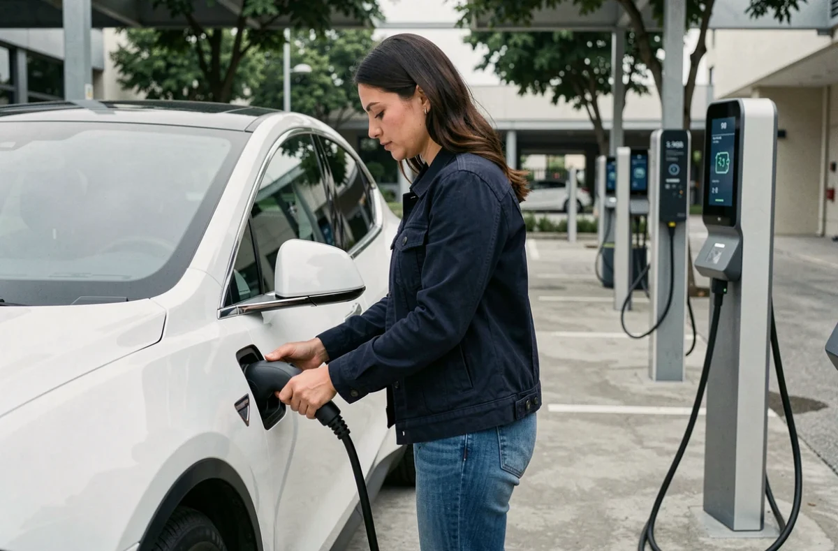
A trip from Lyon to Bordeaux in the middle of January, starting with an 80% battery, driving on the highway at 130 km/h with the heating on: the real range decreases much faster than what the dashboard displays. It is in this type of situation that route planning for electric cars makes perfect sense, provided it is set up correctly.
Discrepancy between displayed range and real range on the highway
The WLTP standard measures range under standardized conditions that do not reflect winter highway use. Driving at 130 km/h with the heating on can significantly reduce the real range compared to the catalog value.
This discrepancy has a direct impact on planning. A planner that relies solely on WLTP range will underestimate the number of necessary stops. Setting your actual speed and the outside temperature in the calculation tool radically changes the result.
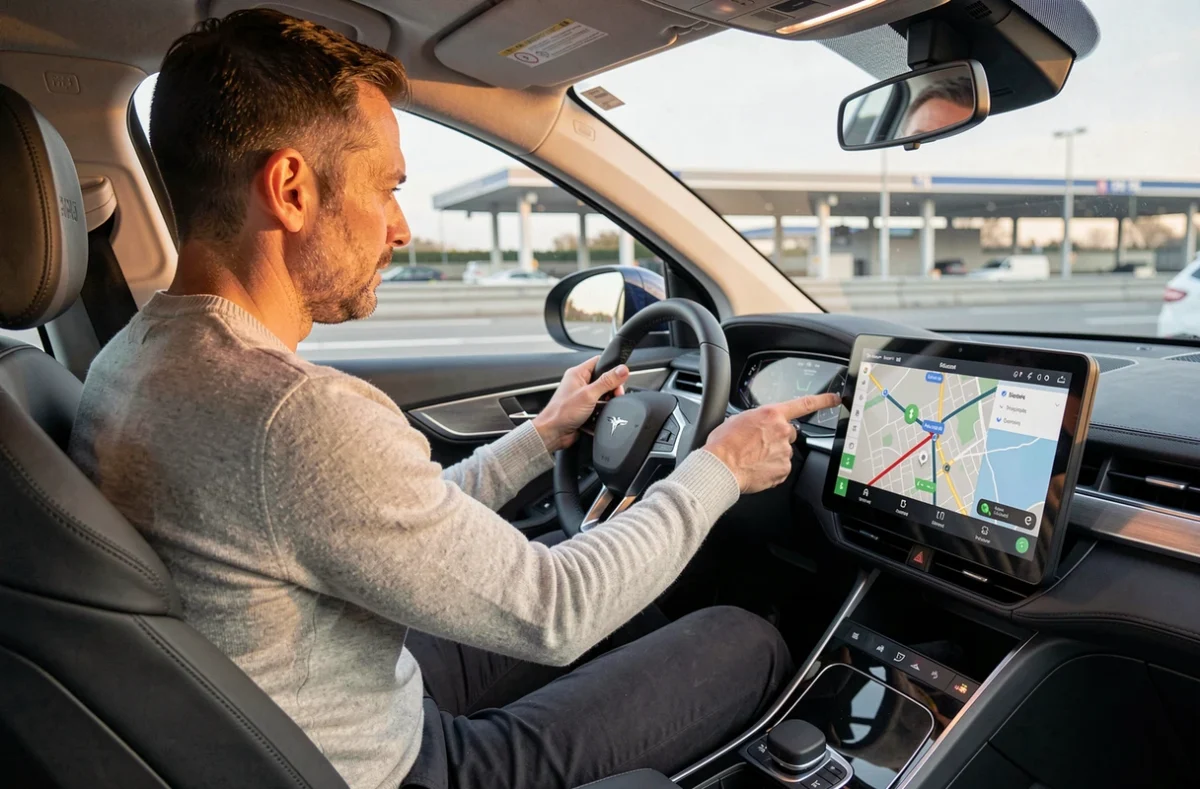
Specifically, you set the expected speed (110, 120, or 130 km/h), indicate the battery level at departure, and activate the weather consideration when the option is available. Tools like A Better Routeplanner (ABRP) allow for this level of detail. Mappy also offers an electric car route calculation with charging stations that incorporates the vehicle model to refine the estimate.
The idea is not to multiply stops out of excessive caution, but to obtain a realistic route from the start. It is better to plan a well-placed 20-minute stop than to find yourself urgently searching for a charging station with 5% battery left.
Real availability of charging stations and payment methods: what the app doesn’t always tell you
A charging station displayed as available on an interactive map may be out of service, occupied, or incompatible with your vehicle when you arrive. Real-time availability remains the weak link of most planners.
Feedback on this point varies by network. Some operators update the status of their stations in near real-time, while others have delays of several minutes or more. In practice, it is always wise to plan for a backup station on the same route.
Payment: credit cards not yet everywhere
The European regulation AFIR mandates since April 13, 2024, the possibility of charging without a prior contract at new public charging stations. For stations under 50 kW, secure online payment or QR code may suffice. Beyond 50 kW, the requirements are stricter.
From January 1, 2027, charging stations of at least 50 kW on the trans-European transport network must accept credit cards or contactless payments, including some stations installed before April 2024. For now, this is not yet the case everywhere.
When preparing a route, you should check two things for each planned stop:
- The power of the station (slow AC, fast DC, ultra-fast) and its compatibility with the vehicle’s connector
- The accepted payment method: RFID badge, operator app, QR code, or credit card
- The existence of an alternative station within a few kilometers, in case of breakdown or occupancy
Carrying a roaming badge (like Chargemap Pass or Ulys Electric) remains the most reliable solution to cover the maximum number of networks on a long trip.
Configuring an electric car route planner for reliable results
Most drivers launch a route calculation without modifying the default settings. The planner then proposes a generic route that does not take into account driving habits or charging preferences.
Settings that really change the outcome
Three parameters deserve special attention:
- The minimum battery threshold upon arrival at each station: setting it to 10-15% avoids stress and compensates for range discrepancies related to elevation or wind
- The target charge level at each stop: charging to 80% rather than 100% significantly reduces waiting time, as charging speed slows considerably beyond this threshold
- Network preference: if you have a subscription with a specific operator (Ionity, TotalEnergies, Fastned), the planner can prioritize these stations and reduce the total cost
On ABRP, you can also indicate the number of passengers and the trunk load, two factors that influence actual consumption.
Recalculating en route
A route calculated the night before may no longer be suitable the next morning. Traffic jams, temporary station closures, weather changes: restarting the calculation after each charging stop with the actual battery level allows for adjustments to the following stages.
The onboard systems of some manufacturers (like Renault’s integrated Google planner with OpenR Link) automatically recalculate based on measured consumption. For vehicles that do not have this feature, keeping ABRP or Chargemap open on a phone mounted on the dashboard serves the same function.
Fast charging on the highway: balancing time and cost
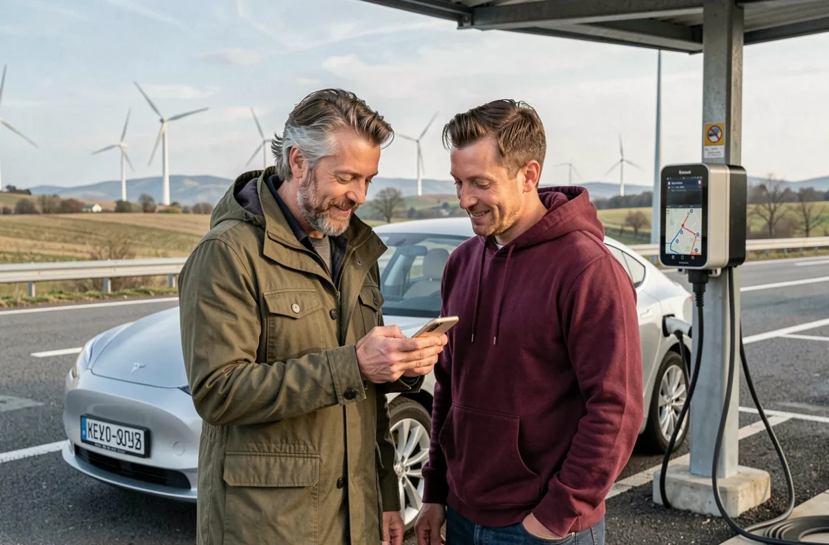
Ultra-fast charging stations on the highway allow for a significant range recovery in 20 to 30 minutes. The price per kWh is significantly higher than in urban areas or at slow AC stations.
Shifting a stop a few kilometers off the highway can halve the charging cost while only adding a few minutes to the trip. This is a trade-off that planners do not automatically make: it requires manually comparing options close to the exit.
For regular trips (long-distance home-work, family round trips), a subscription with a fast network like Ionity Passport or equivalent significantly reduces the bill. The route planner then also serves as a budgeting simulation tool, displaying the estimated cost of each stop.
The best route is not the one with the fewest stops, but the one where each stop is calibrated: good station power, compatible payment, appropriate charging duration between 10 and 80% battery. It is this granularity that transforms a stressful trip into a controlled journey.